Searchable Databases &
Lists Directory
One-stop Shop for DANR Data
Interactive GIS Maps
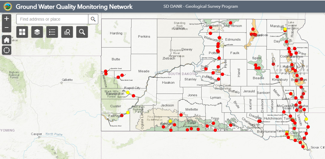
Statewide Ground Water Quality (opens in new tab)
This network of observation wells monitors the present quality of shallow ground water resources in the state, as well as examine short- and long-term trends in water quality. The network consists of 144 wells in 25 aquifers across the state.

EPA ECHO Database (opens in new tab)
Enforcement and Compliance History Online (ECHO) – EPA’s public facing database.

Waterbodies Eligible under the Buffer Bill (opens in new tab)
South Dakota agricultural property owners are eligible to install riparian buffer strips (a vegetated area near a body of water) for a property tax incentive with the Department of Revenue.
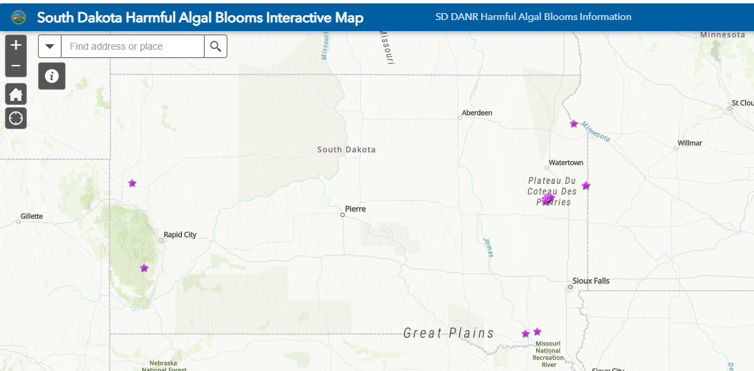
Harmful Algal Blooms Map (opens in new tab)
This map shows reports of harmful algal blooms and shares results of harmful algal bloom monitoring efforts, including cyanotoxin testing and toxin producing algae densities.
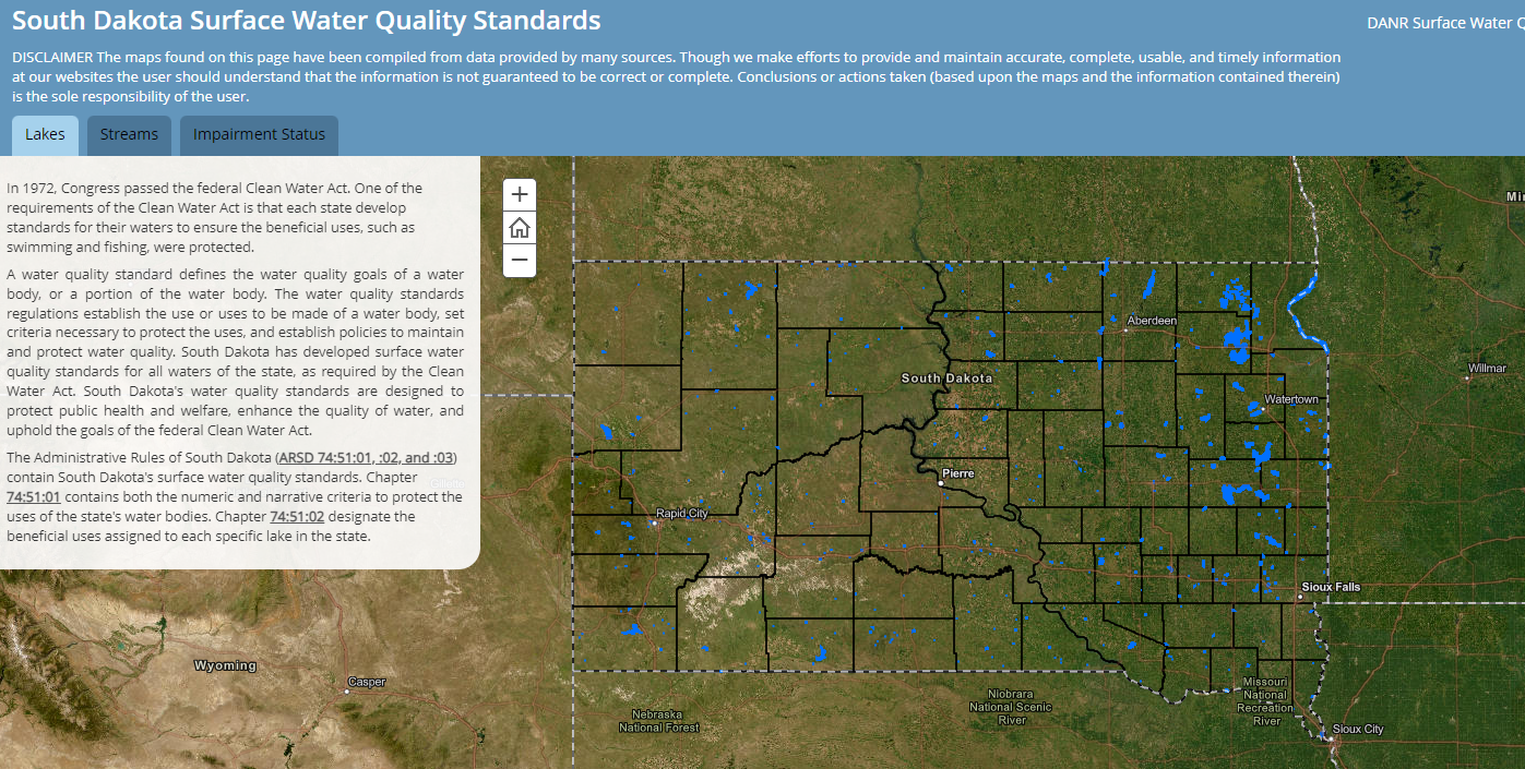
Surface Water Quality Standards (opens in new tab)
In 1972, Congress passed the federal Clean Water Act. One of the requirements of the Clean Water Act is that each state develop standards for their waters to ensure the beneficial uses, such as swimming and fishing, were protected.
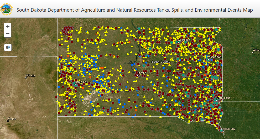
Tanks & Spills Map (opens in new tab)
This map allows visitors to find information on regulated tank sites as well as spills sites.
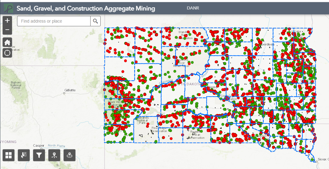
Construction Aggregate & Mining Map (opens in new tab)
This site allows visitors to find information on over 500 active construction aggregate licenses that have been issued to mine nearly 1,400 pits totaling 20,000 acres. Visitors can see information on nearly 5,200 sites that have been licensed through DANR since 1983.
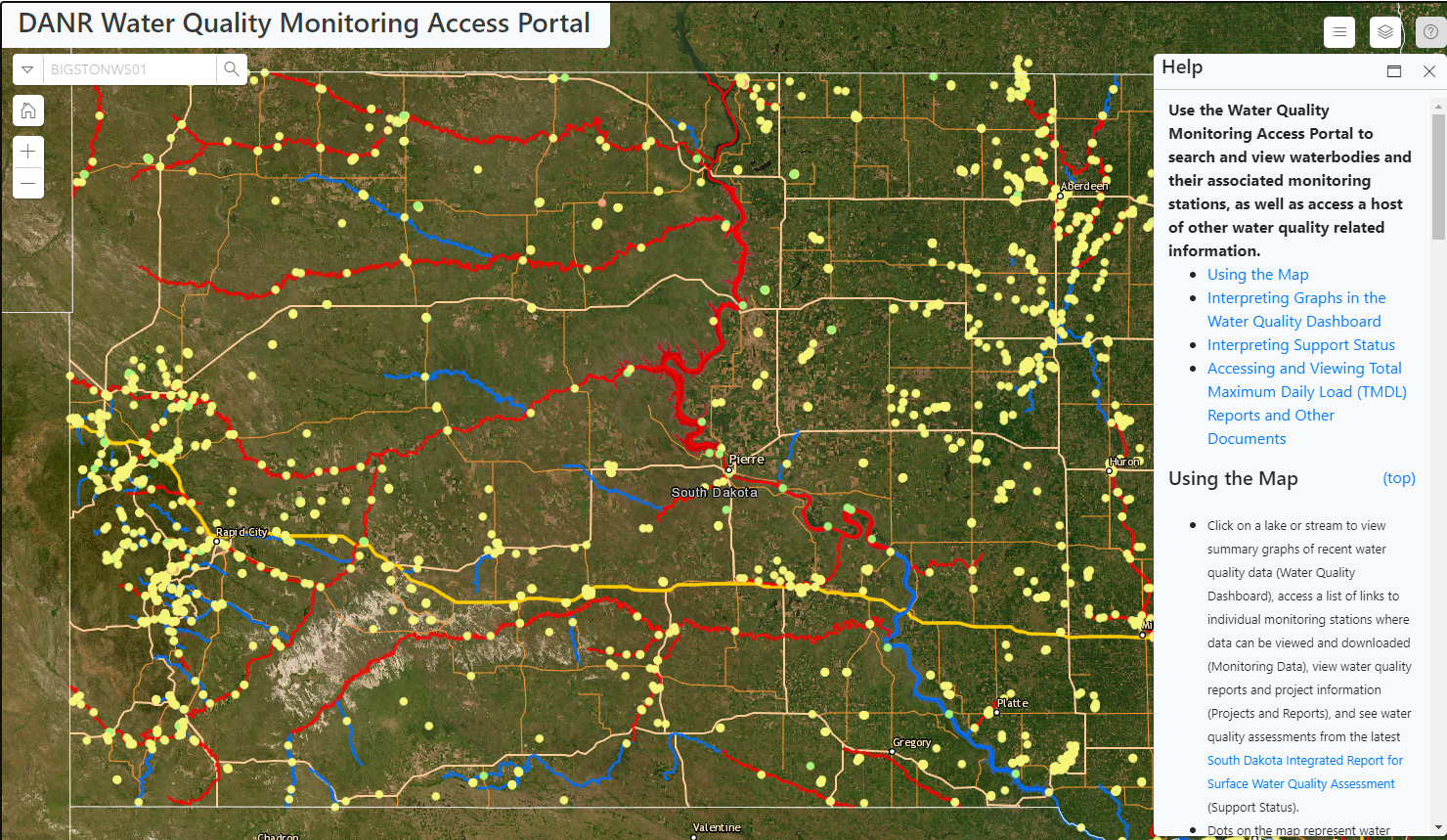
DANR Water Quality Monitoring Access Portal (opens in new tab)
Provides users with access to water quality sample data, beneficial use status as described in the South Dakota Integrated Report for Surface Water Quality, information about ongoing water quality projects, and links to water quality reports.
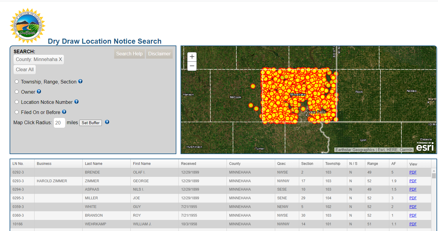
Dry Draw Location Notice Search (opens in new tab)
This application provides a list of dams and dugouts constructed on dry draw watercourses that typically flow only during a precipitation event or spring snow melt. See SDCL 46-1-6(8) for the definition of a dry draw.
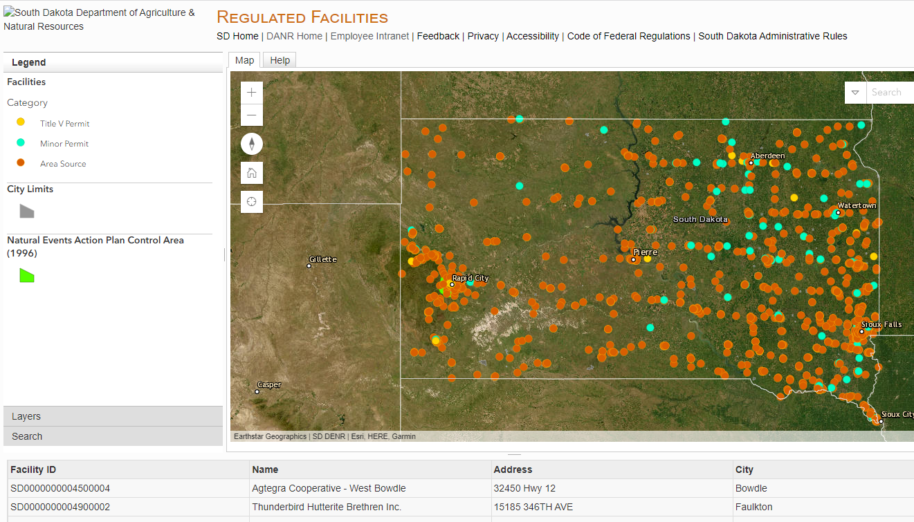
Regulated Air Quality Facilities (opens in new tab)
Facilities that have a Title V operating permit or a Minor operating permit and facilities that are applicable to a federal regulation but do not require a permit in South Dakota, which are often referred to as an area source.
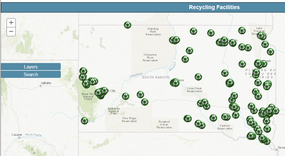
Recycling Facilities (opens in new tab)
Recycling facilities found in South Dakota.
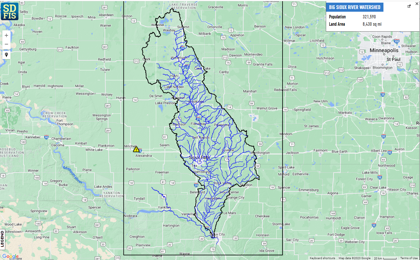
Big Sioux River Flood Information (opens in new tab)
The Big Sioux River Flood Information System is a one-stop web platform to access real-time conditions, flood forecasts, visualizations, inundation maps, and flood-related data and information.
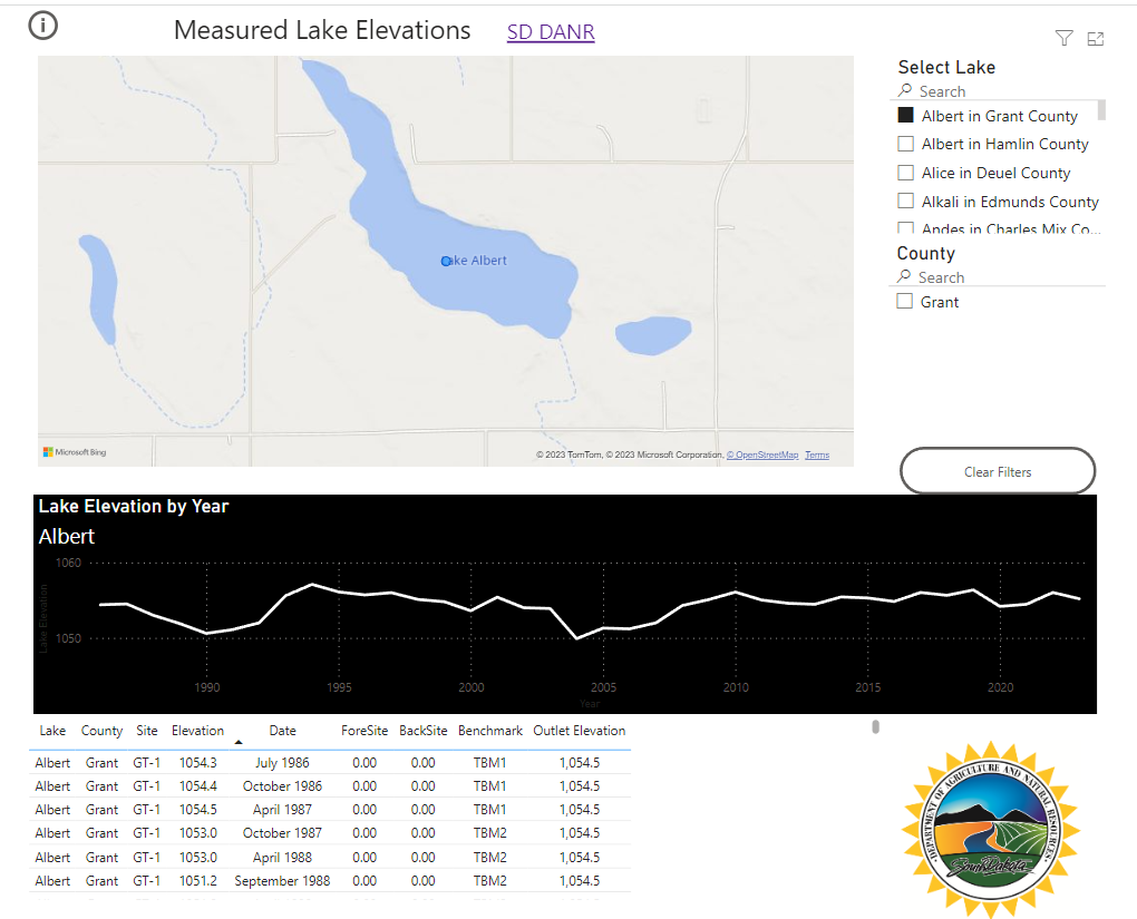
Measured Lakes (opens in new tab)
This application provides the location, historic elevation readings, and outlets for measured lakes within South Dakota. This application allows users to download data as hydrograph and/or spread sheet for a selected measured lake.
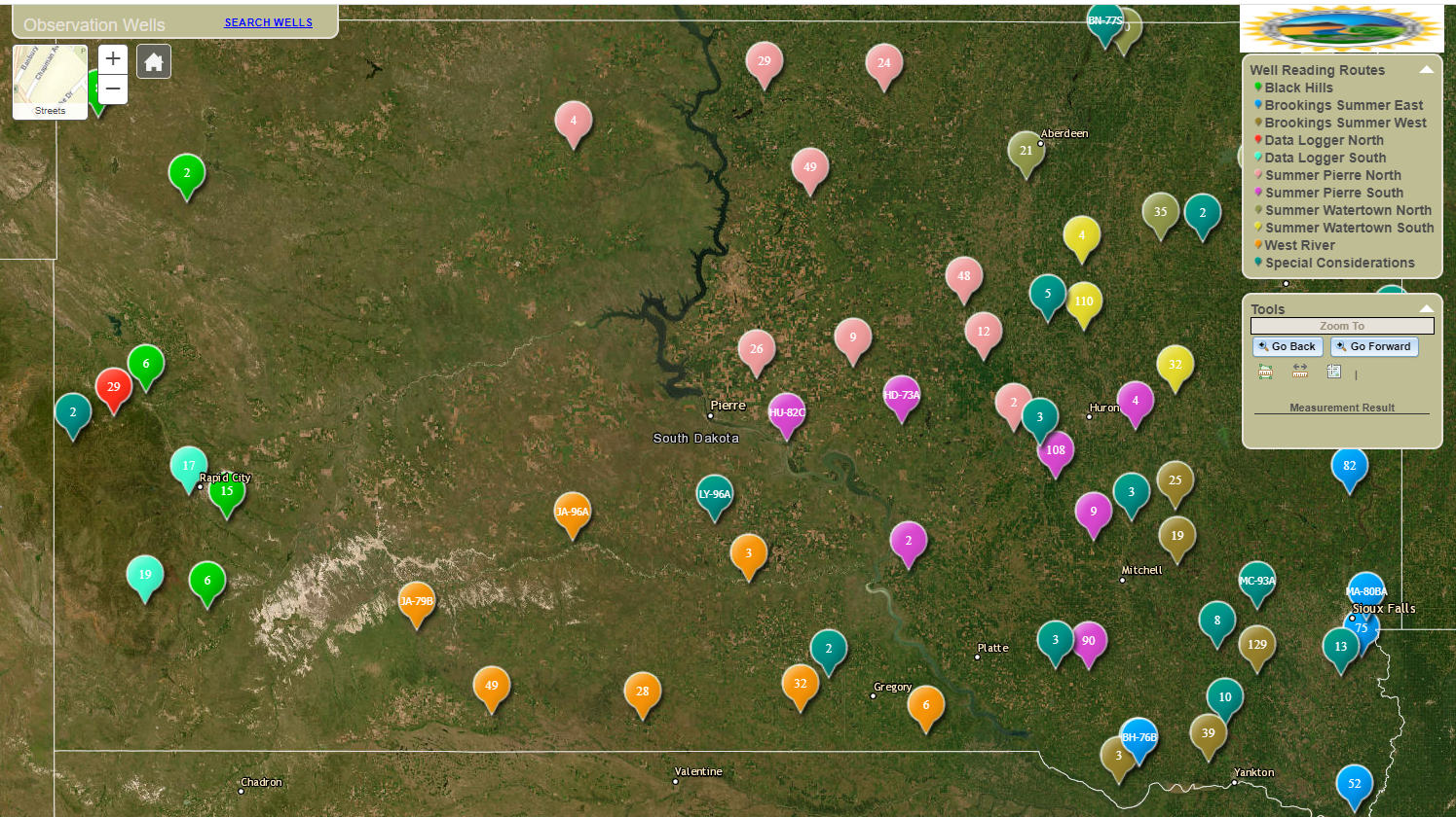
Observation Wells (opens in new tab)
This application provides water level readings for measured observation wells within South Dakota.
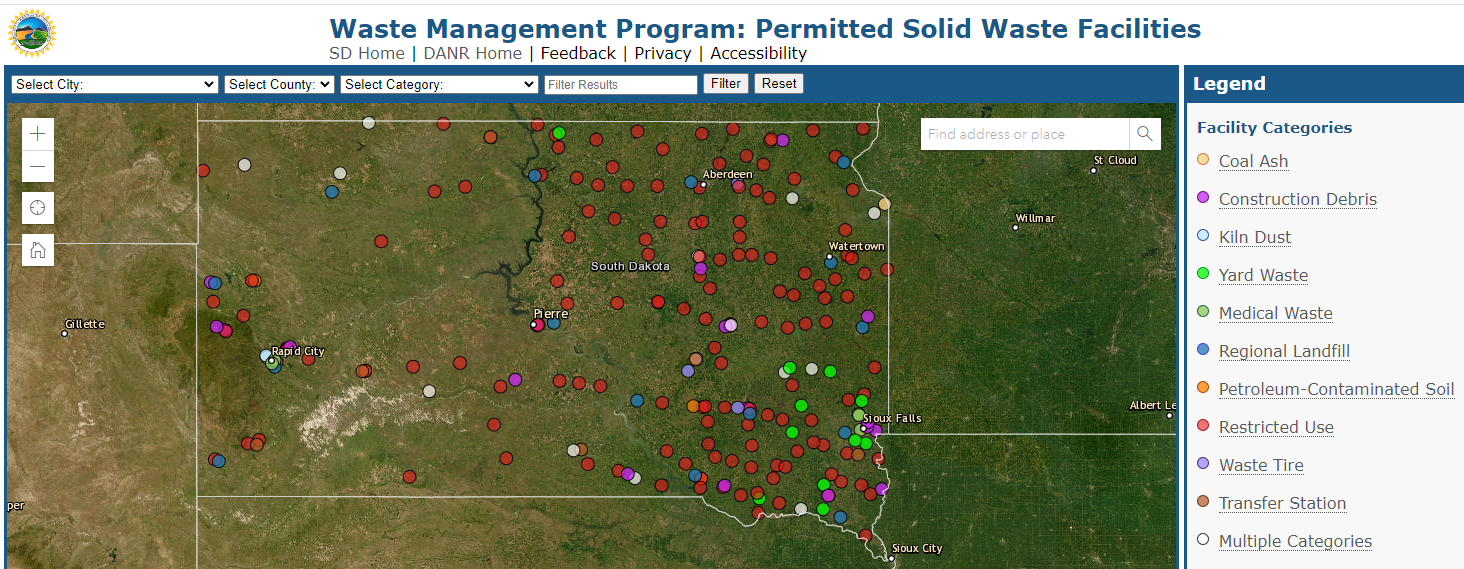
Permitted Solid Waste Facilities (opens in new tab)
This application allows users to find permitted solid waste facilities within South Dakota. Users can search by City, County, category, address, and operator.
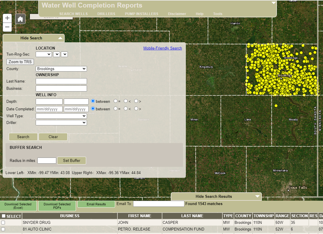
Water Well Completion Reports (opens in new tab)
This application provides public access to the State of South Dakota Water Well Completion Reports (Well Logs), Licensed Well Drillers and Licensed Pump Installers database.
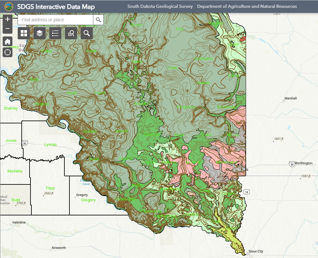
Oil and Gas Resources (opens in new tab)
This web map provides access to multiple layers of natural resources information. Information on the state’s oil and gas permits and wells, as well as layers of information about the geology and hydrology of the state are contained in this map.
Database List
- Tanks and Spills Map (opens in new tab)
- Commercial Applicator Search (opens in new tab)
- Private Applicator Search (opens in new tab)
- Pesticide Product Company Search (opens in new tab)
- Pesticide Product Search (opens in new tab)
- Animal Remedy Search (opens in new tab)
- Fertilizer/Feed License Search (opens in new tab)
- Soil Amendment Product Company Search (opens in new tab)
- Soil Amendment Product Search (opens in new tab)
- Historical Lake Elevations Database (opens in new tab)
- Licensed Water Well Drillers (opens in new tab)
- Licensed Water Well Pump Installers (opens in new tab)
- Location Notice (dam/dugout) (opens in new tab)
- Observation Well Database (opens in new tab)
- Water Rights Database (opens in new tab)
- Water Well Completion Reports “Well Logs” Database (opens in new tab)
- Mobile Friendly Water Well Completion Reports – No Map (opens in new tab)